Tidal Tech: Environmental, Marine, and Data Collection Services
Providing environmental consulting, data collection, and permitting solutions.

At TidalTech, our mission is to provide precise and reliable environmental data services to give clients the critical information needed to make informed decisions, protect communities, and manage natural resources. Through innovation, accuracy, and dedication, we strive to be a trusted leader in environmental data solutions, helping build a safer and more resilient future. We specialize in environmental consulting, data collection, and permitting assistance for wetlands, coastal monitoring, and marine construction projects.

.jpg/:/cr=t:0%25,l:0%25,w:100%25,h:100%25/rs=w:370,cg:true)

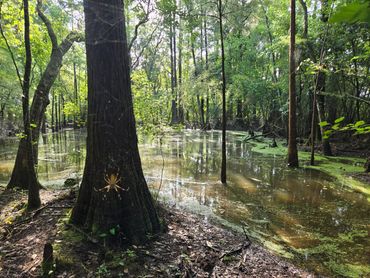

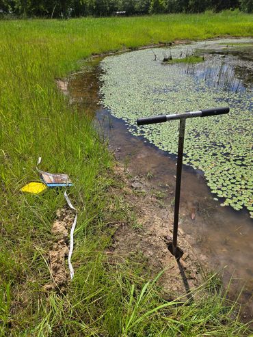
Our diverse background in environmental fieldwork enables TidalTech to provide a comprehensive range of services, including wetland delineation, invasive plant management, mitigation, prescribed burning, vegetation sampling, and submerged aquatic vegetation (SAV) surveys. We utilize advanced data collection techniques to ensure accurate assessments for permit applications.
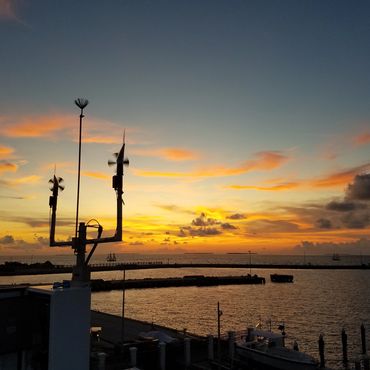
Our team of experts has over 15 years of scientific data collection . We specialize in providing meteorological, oceanographic, water quality, and environmental data sampling and processing services. Let us assist you in designing, deploying, and monitoring your data collection projects!
We offer customized solutions tailored to your specific project needs. Whether you need vessel support services, site access, marine construction permitting, or SCUBA diving for underwater inspections, surveys, or instrument installation and repairs. Our expertise in marine logistics and diving have proven our ability to work on and in the water!
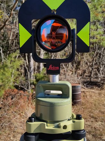
Our team brings specialized experience in geodesy, enabling us to support clients with accurate positioning and elevation data in coastal and marine environments. Our geodetic capabilities include GPS observations, geodetic leveling, and recovery or installation of permanent benchmarks to ensure reliable long term reference points for monitoring and construction.